From Pine View Farm

New Pictures of Home 2

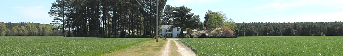
Here’s a new picture of Pine View Farm. It’s sort of a “big picture” view.

From 37,000 feet.

In this one, Wise Point is to the left, Cape Henry to the right. You can faintly see the route of the Chesapeake Bay Bridge-Tunnel across the mouth of the Chesapeake.

Atlantic Meets Chesapeake

This shows the Chesapeake Bay to the left, the mouth of the James River to the right; you can dimly see the Hampton Roads Bridge-Tunnel crossing the mouth of the James.

The city of Hampton is to the bottom; Norfolk to the top; Virginia Beach to the left, and Portsmouth to the right.

Hampton Roads

Share

2 comments

  1. Opie

    March 5, 2006 at 4:38 pm

    Who needs Google Earth?

     
  2. Frank

    March 5, 2006 at 4:47 pm

    Well, Google Earth is a little more configurable than Southwest Airlines!

     
From Pine View Farm
Privacy Policy

This website does not track you.

It contains no private information. It does not drop persistent cookies, does not collect data other than incoming ip addresses and page views (the internet is a public place), and certainly does not collect and sell your information to others.

Some sites that I link to may try to track you, but that's between you and them, not you and me.

I do collect statistics, but I use a simple stand-alone Wordpress plugin, not third-party services such as Google Analitics over which I have no control.

Finally, this is website is a hobby. It's a hobby in which I am deeply invested, about which I care deeply, and which has enabled me to learn a lot about computers and computing, but it is still ultimately an avocation, not a vocation; it is certainly not a money-making enterprise (unless you click the "Donate" button--go ahead, you can be the first!).

I appreciate your visiting this site, and I desire not to violate your trust.